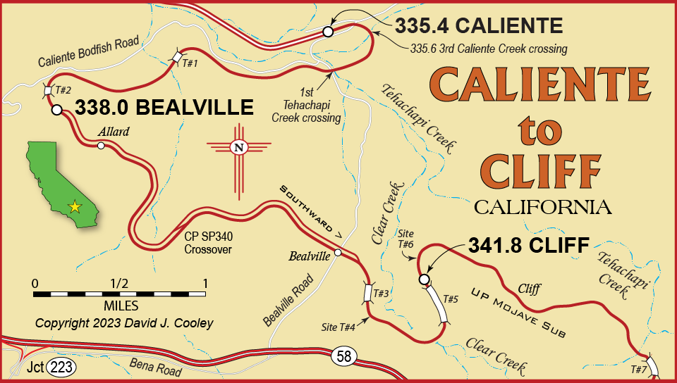
This is former Southern Pacific trackage, now part of Union Pacific. Some changes since the SP days: Santa Fe's trackage rights are now BNSF; SP's "Eastward" is now UP's "Southward"; Bealville was historically at the Bealville Road crossing and likewise Cliff was about halfway between Tunnels 5 and 7.
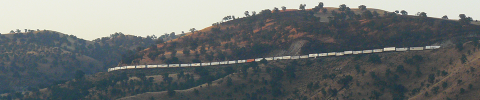
UP 4728 South high above Caliente at Cliff, 6.4 miles away and 635 feet higher. July 24, 2008.
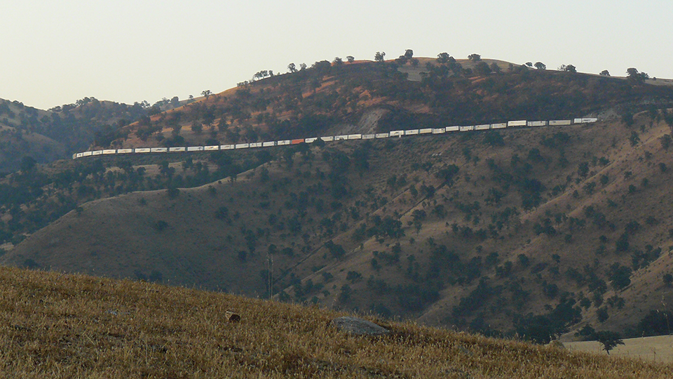
Smoke rises from Tunnel 5 as UP 4728 South reaches Cliff as seen from Caliente. July 24, 2008
Photos by David J. Cooley