Bates, Washington
BNSF Fallbridge Subdivision
Former Spokane, Portland & Seattle / Burlington Northern
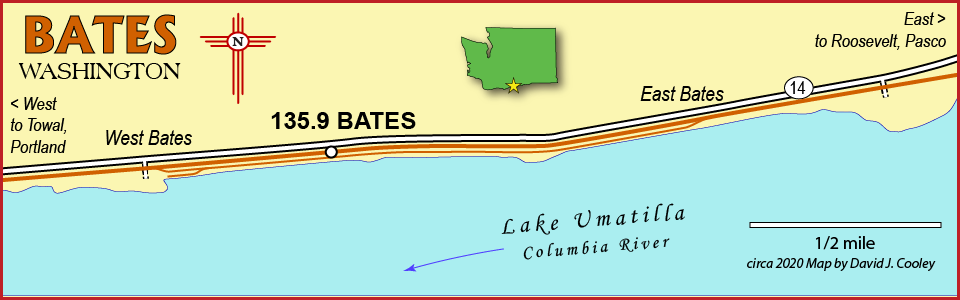
Bates is a 7,099-ft siding located about 12 miles west of Roosevelt and about 23 miles east of Maryhill.
- West Bates 45.7048,-120.4301
- East Bates 45.7067,-120.3992
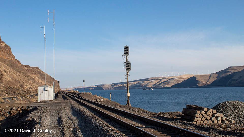
Looking east from river access road crossing along Washington SR 14, about 12 miles west of Roosevelt. November 29, 2019. 45.7048,-120.4301
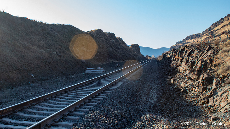
Looking west from river access road crossing along Washington SR 14, about 12 miles west of Roosevelt. November 29, 2019. 45.7048,-120.4301
Photos by David J. Cooley